Main Works
Web-Mapping
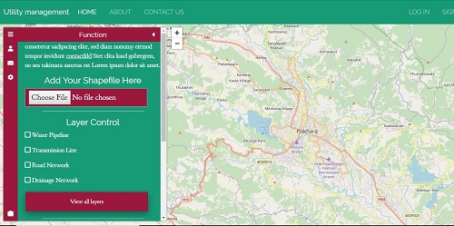
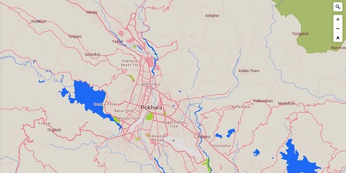
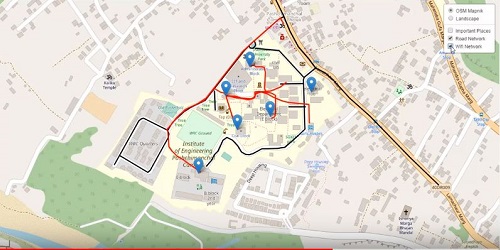
As I am from GIS background, I love to do spatial operations. I made a web-map for utility management purpose. This webmap is made by ...
Get MoreWeb-Mapping
As I am from GIS background, I love to do spatial operations. I made a web-map for utility management purpose. This webmap is made with the help of html, css, javascript (leaflet.js) for frontend and Django for backend. I am currently working in this project.
Real Estate Website backend
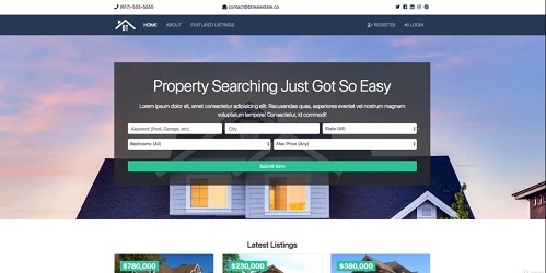
For the practice purpose, I had completed the backend of the real estate website. In this project, Django was used for backend. With the help of ...
Get MorePosition Finder
This program allow us to find out our location on the basis of lattitude and longitude. It is very simple and easy to use. It gives the instant coordinate of your device. Here I use some javascript code to finding out the location.
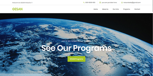
Gesan Website Template
This is the template of the Geomatics Engineering Student's Association Nepal (GESAN) website template. at the request of GESAN, ....
Get MoreGesan Website Template
This is the template of the Geomatics Engineering Student's Association Nepal (GESAN) website template. at the request of GESAN, I made this template. This template was used until the final website of the GESAN was lunched.