My Articles
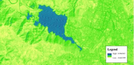
1. NDVI, NDBI & NDWI Calculation Using Landsat 7, 8
Remote sensing data are primary sources for analyze environmental processes in local or global scale. These data are used to find out change detection in recent decades. Remote sensing data (such as Landsat data, Sentinel data, Spot image etc.) are very useful for visualization, classification and analysis of area. These data can be categorized based on their resolution, electromagnetic spectrum, energy source, imaging media and number of bands. Higher the resolution of satellite data (spatial resolution, spectral resolution, radiometric resolution, temporal resolution), higher degree of accuracy will achieve during classification.
 Read Full Article